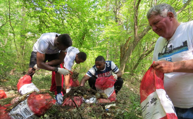
Participate
Volunteer with Us
Type in your search and hit Enter on desktop or hit Go on mobile device
Protecting important urban wetlands
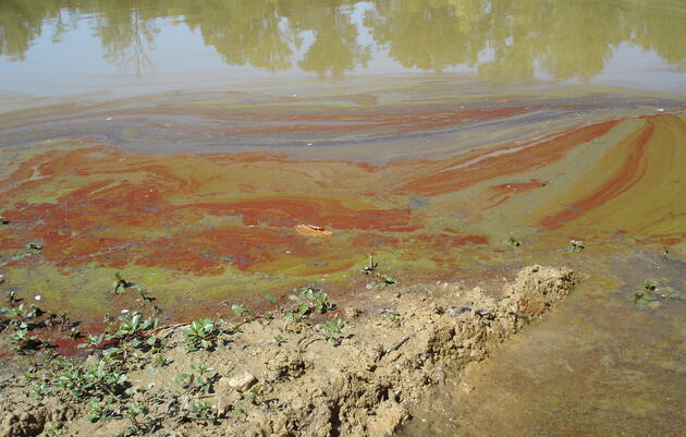
For two decades, Audubon Delta has spearheaded a growing effort to protect the Fourche Creek Watershed, arguably the most important urban watershed in the state of Arkansas. The watershed drains and filters runoff from Little Rock, Arkansas’s capital.
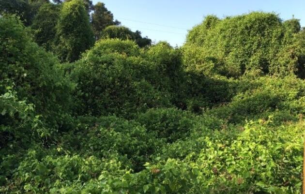
Despite years of abuse and neglect, Fourche Creek continues to support a highly diverse population of flora and fauna and an 1,800 acre core bottomland region that still maintains its wetland functions and character.
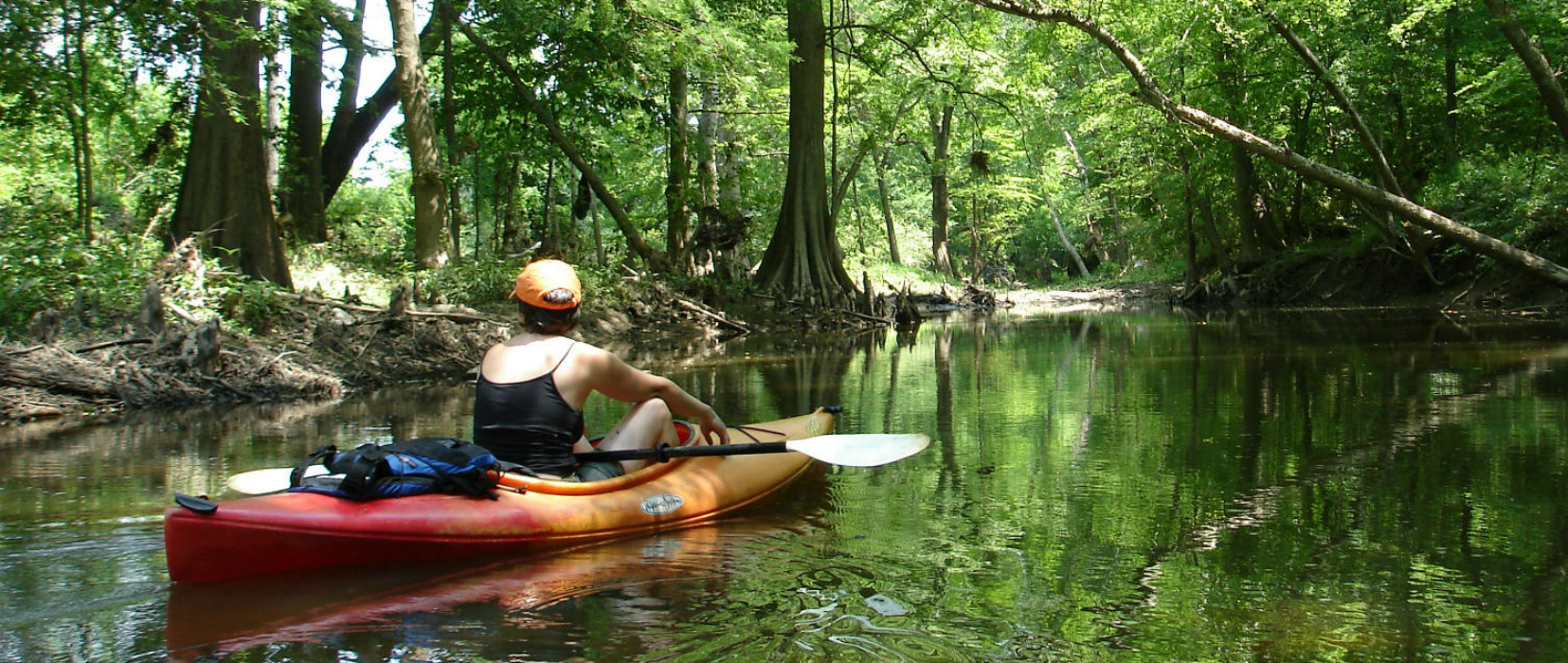
Coursing along the southern reaches of Arkansas's capital city, Fourche Creek provides a natural escape from the hustle and bustle of city life.
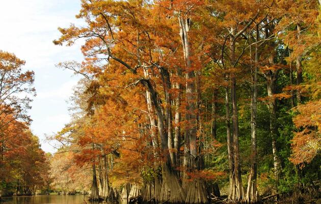
The 108,800-acre Fourche (pronounced "fush") Creek Watershed includes six third-order streams and nine primary tributaries.
A partnership to protect one of the nation's largest urban wetlands
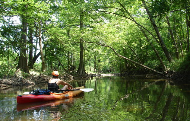
Miles of floatable creek located right in the heart of Little Rock.


Clinton School study reveals the relationship between residents and Fourche Creek
Join our Advocacy Team to receive action alerts about legislation and policy when Audubon Delta's birds need your voice.

Signing up is the best way to keep up with Audubon's latest news, programs and initiatives.